Water Resources

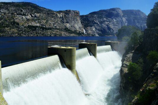
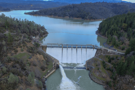
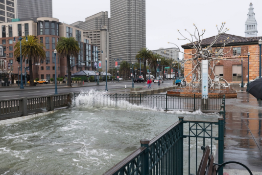
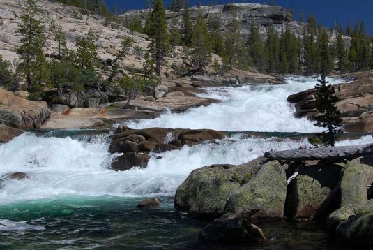
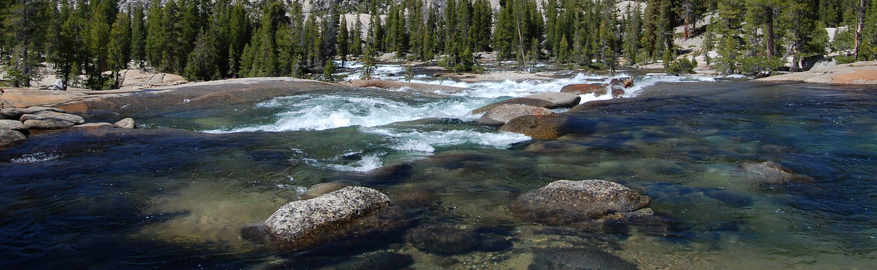
A functioning regional economy requires a secure water supply. California’s climate is famously volatile. While the state has averaged about 21 inches of precipitation per year since 1896, any given year can swing wildly from the mean, resulting in incidences of both devastating floods and remorseless drought.

Related

Report

Sea Level Rise

Much of the detailed planning for how to address these challenges is taking place at the regional and local level. The state supports those efforts by encouraging regional-scale collaboration, supporting local planning and adaptation projects, providing data and analysis, and enhancing public awareness of sea level rise risks and impacts.7 Much of this occurs through the Ocean Protection Council (OPC), a high-level state government panel created in part to protect ocean health in the face of climate change. Based on evolving scientific knowledge, the OPC develops state-level approaches that respond to the anticipated impacts of storms, erosion and sea level rise on coastal communities.
Insights

The Economic Value of Water in United States’ Metropolitan Statistical Areas

Key Findings: San Francisco tops U.S. counties in economic value created per unit of water consumed. San-Jose-Sunnyvale-Santa Clara tops U.S. Metropolitan Statistical Areas in economic value created per unit of water consumed; San Francisco-Oakland-Hayward has …

Report

Secondary Economic Impacts of a Reduced Bay Area Water Supply

The State Water Resources Control Board is responsible for setting flow objectives on rivers flowing into the Sacramento-San Joaquin Delta to protect beneficial uses of water. The Board is considering new regulations aimed at improving fisheries on the San Joaquin River. This analysis of the Draft Substitute Environmental Document of the Bay-Delta Water Quality Control Plan Update examines the potential impacts.